Soledad Rodriguez
Ask me about
- Why work experience is highly beneficial
- Why I have a drone licence
About me
- Regional Background
I am a Senior Surveyor and have worked with the Department of Transport and Main Roads since 2007.
I went to Newcastle University in New South Wales a long time ago and except for a short break to have kids (8 years), have worked as a surveyor since I graduated.
I started as a cadastral surveyor in NSW and became registered there. My work involved measuring cadastral (fencing) boundaries in rural areas. The region that I worked in stretched from Wollongong all the way down to the Victoria border and across to Yass. It was great rural experience, travelling all over that part of NSW and was really interesting to me.
After moving to Queensland and having my kids, I went back to surveying and have stayed with the Department of Transport and Main Roads Queensland since then. I started as an Engineering Surveyor, then came into the office to work as a Project Manager on aerial surveying projects. I no longer work outdoors as I’m office based now, but my enthusiasm still remains, and my job keeps me sane.
About my role
- Analytical
- Calm
- Flexible
- Independent
- Thorough
The role of a Senior Surveyor usually requires a Degree in Surveying (Spatial Science Technology) and must be registered with the Surveyors Board within their relevant state.
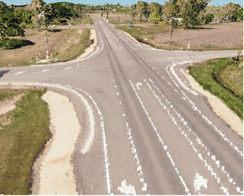
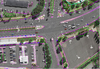
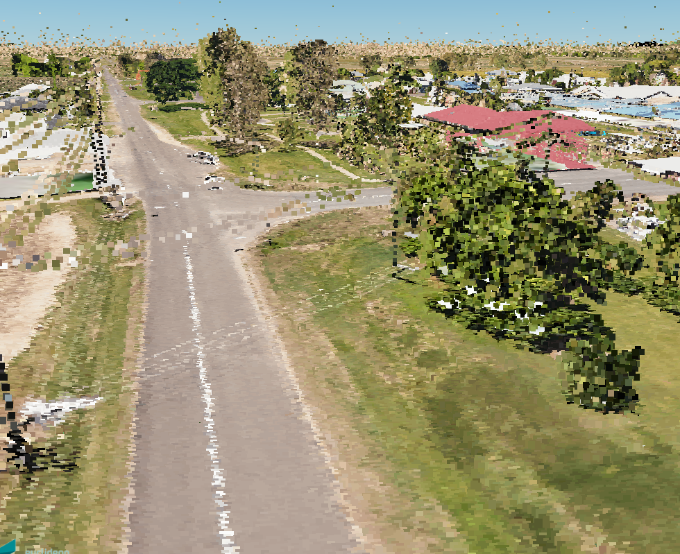
A Senior Surveyor leads a small team of people, instructing them and organising their work. This role works with both internal staff (hydraulics, other surveyors and designers) and external staff from the industry. They are the lead contact on specialised aerial surveying products like imagery, mapping and LiDAR (light detection and ranging). The Senior Surveyor has to understand client requirements and determine the best product for these needs. They then have to compile, critically analyse and present processed spatial data into a cartographic or a 3D visual representation.
Education
- Bachelor of Surveying
- Graduate Diploma in Urban and Regional Planning
- RePL (Remote Pilot) and AROC (Australian Remote Operators Certificate) CASA
Subjects
- General Mathematics (Maths A)
- Mathematical Methods (Maths B)
- Science in Practice
Hobbies
- Bike riding
- Reading
- Travel
Pets
- 2 Dog
My career journey
-
Liked maths and could not contemplate working in an office
-
Tried engineering but was not for me
-
Part time Uni job pegging house blocks, which confirmed outside work was for me
-
After Uni, realised rural working was always interesting and different
-
No longer measuring boundaries, but now using skills in aerial surveying
My typical day
My employer