Mary-Ellen Feeney
Ask me about
- Working with digital spatial data in the field in military exercises
- If I use AI in my job
- The projects I've worked on
About me
- International Experience
I have always wanted to study science. I thought this was field science, but I discovered I like telling stories (with data) and helping teams learn new ways of doing things (with technology), especially working with other disciplines (collaboration). I studied a lot of field geography and ecology at university, however when I did my final project I had to hand all my data over to the Geographic Information System (GIS) specialist who mapped and analysed the data. I decided I wanted to have that control.
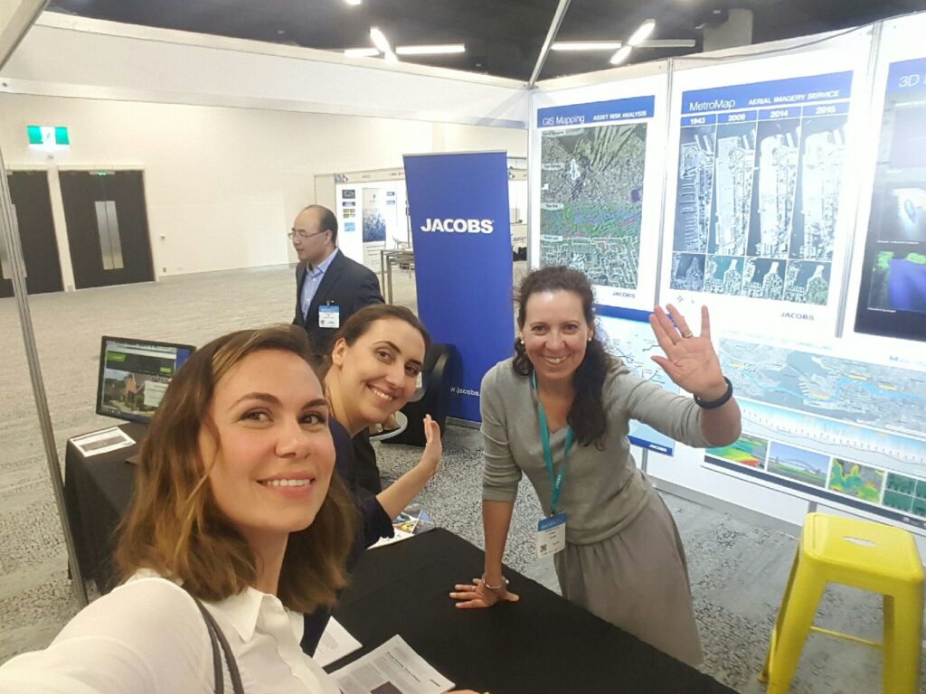
I have since spent my career introducing new technical solutions in the data and digitisation space – databases, digital mapping, electronic navigation, data portals, data standards, data infrastructure, data analytics, automation, digital engineering, software as a service (SaaS), technology interoperability, open standards. What I have learned is helpful in so many areas – in infrastructure and energy projects, in engineering, in data science, in mapping and geospatial science.
About my role
- Flexible
- Innovative
- Intuitive
- Passionate
- Resourceful
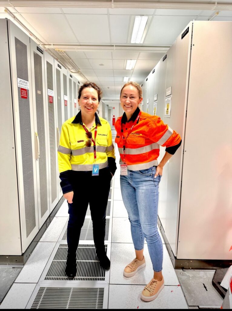
Our engineering group works on control systems, scada, internet of things, data analytics, simulation/ digital twin, cyber security of operational technology, safety systems and much more. Frequently coding and design in engineering and technical disciplines converges, incorporates AI, automation, new technology. Our work might involve engineers (electrical, chemical, robotics, software, mechatronics, renewable energy...), technology specialists, data scientists etc. I am a technology specialist (geospatial technologies).
Education
- BSc Applied Geography (Physical), University of NSW (UNSW)
- Honours (Class 1), UNSW & CSIRO
- PhD Geomatics (Spatial Data Infrastructures), University of Melbourne
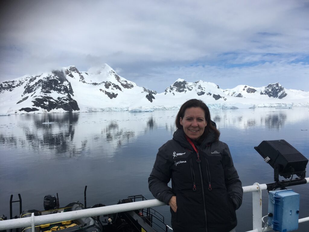
- Homeward Bound - Women in STEM Global Leadership
- Program & expedition to Antarctica
- Australian Institute of Company Directors (AICD), Directorship Program
Subjects
- Biology
- Chemistry
- English
- Geography
- Languages
- Mathematical Methods (Maths B)
- Science
- Specialist Mathematics (Maths C)
Awards
- School Awards (Biology, Religion, Indonesian)
- SPIRT & ARC PhD Grant
- 2018 Professional of the Year (NSW) - Asia Pacific Spatial Excellence Awards
- 2018 Women's Leadership Award (NSW) - Asia Pacific Spatial Excellence Awards
- 2019 - Homeward Bound Grant
Hobbies
- Camping
- Hiking
- Pilates
- Reading
- Volunteering
Pets
- 2 Dog
My career journey
-
Worked on Australia's 1st digital hydrographic database and Electronic Navigation Chart
-
Developed Australian Government Metadata Profile
-
Made redundant from consulting
-
Started a business career
-
Became an Executive
My typical day
My employer